

Summary:
Most Nassau County homeowners don’t think about a land survey until they suddenly need one — and need it fast. A closing is coming up. A contractor is waiting on permit approval. A neighbor just put up a fence and something feels off. Whatever the situation, the same question comes up: where do I even start?
The process is more straightforward than most people expect, but there are a few things worth knowing before you make that first call. This guide walks you through exactly what happens when you get a land survey for your property — and what you can do right now to make the whole thing go faster.
How to Get a Land Survey for Your Property in Nassau County
The surveying process starts before anyone sets foot on your property. We begin with office research — pulling deed records, filed maps, prior surveys, and documents from the Nassau County Clerk’s office to understand your property’s legal history before any measurements are taken. That groundwork is what separates a thorough survey from a rushed one.
From there, our field crew visits your property to take precise measurements, locate existing boundary markers, and document all structures and improvements. The findings are then drafted into a survey plat — a scaled legal drawing that shows your property lines, dimensions, and everything on or near them. Once our licensed surveyor reviews, stamps, and signs it, that document carries full legal weight in New York State.
The whole process — research, fieldwork, drafting, and delivery — typically takes anywhere from a few days to several weeks depending on the firm. Our average turnaround at Islandwide is eight days, which matters a lot when you’re working against a closing date or a contractor’s schedule.
How to Find an Existing Survey of Your Property Before Ordering a New One
Before you order anything, it’s worth checking whether a usable survey already exists. This is one of the most overlooked steps, and it can save you real money — or at least give you a clearer picture of what you actually need.
Start with your closing documents. If you bought your home with a mortgage, your title company or lender almost certainly required a survey as part of the transaction. That survey should have been included in the packet of paperwork you received at closing. Check your files first — it may already be sitting in a folder somewhere.
If you can’t find it there, the Nassau County Land Records Viewer at lrv.nassaucountyny.gov is a free, publicly accessible tool that provides tax map data, parcel information, and GIS records for every property in the county. It won’t show you a full survey plat, but it gives you your tax map parcel number and basic property data — useful context before you call a surveyor.
You can also contact the original surveying firm directly. Licensed surveyors in New York are required to maintain their records, so if you know who conducted the original survey, they may be able to pull it quickly. This is one of the reasons we encourage homeowners to come back to us for updates — if we did your original survey, we already have the research and field notes on file, which means an update is typically faster and less expensive than starting from scratch with a new firm.
The key question isn’t whether your old survey exists — it’s whether it’s still appropriate for what you need. A survey doesn’t technically expire, but its usefulness depends on what’s changed since it was done and what you’re trying to accomplish. If you’re just having a conversation with a neighbor about a rough boundary, an older survey might be fine. But for a building permit application in the Town of Hempstead, a real estate closing, or a formal boundary dispute, you’ll likely need something current. When in doubt, a quick call to us can tell you whether what you have is sufficient or whether an update makes more sense.
What to Prepare Before Contacting a Land Surveyor
You don’t need to have everything figured out before you reach out — that’s what the consultation is for. But having a few things ready will make the process go smoother and help you get a more accurate quote upfront.
Know your address and, if possible, your tax map parcel number. In Nassau County, you can find this through the Land Records Viewer or on your property tax bill. It’s a small detail, but it helps us pull up your property’s records faster.
Have a general sense of why you need the survey. Are you applying for a building permit through your town’s building department? Preparing for a real estate closing? Installing a fence and want to confirm the line before your contractor starts? Each of these may call for a different type of survey — a boundary survey, a location/mortgage survey, a site plan — and knowing your purpose helps us point you in the right direction immediately.
If you have any existing survey documents, pull them out even if you’re not sure they’re current. Bring them into the conversation. We can look at what you have and tell you whether it’s usable, whether it needs to be updated, or whether you need something new entirely. That assessment alone can save you from paying for work you don’t need — or from assuming you’re covered when you’re not.
One thing worth understanding: in New York State, only surveys performed by a licensed and registered land surveyor carry legal validity. That means a GIS printout, a Google Maps screenshot, or a neighbor’s rough sketch has no legal standing for a permit application, a title insurance policy, or a boundary dispute. Whatever you’re trying to accomplish, the documentation needs to come from a licensed professional.
What Happens During a Property Survey on Long Island
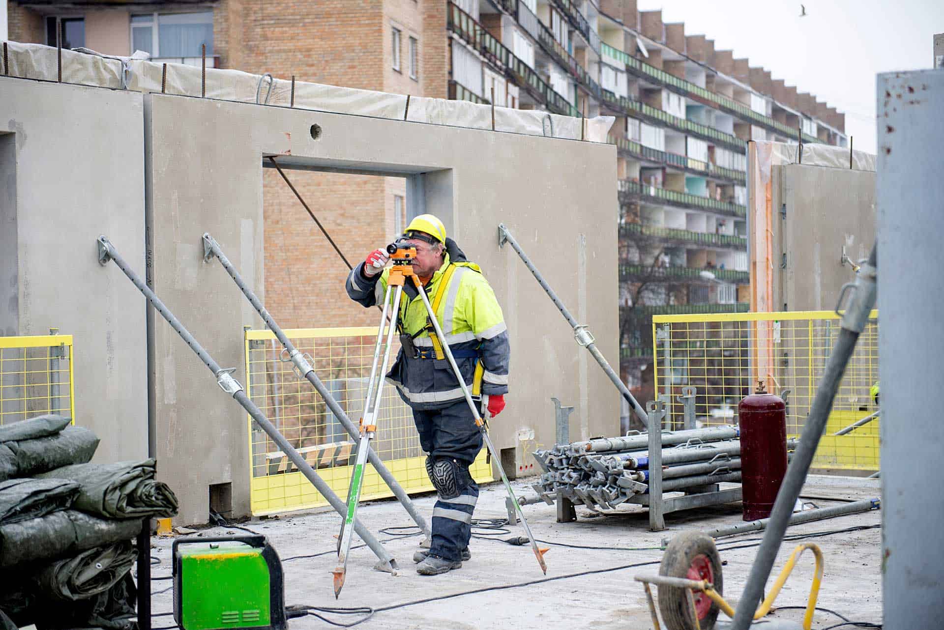
Survey day is usually less disruptive than most homeowners expect. Our field crew will arrive, walk the perimeter of your property, locate any existing monuments or boundary markers, and take precise measurements using GPS equipment and total stations. You don’t need to be home for most of this, though it helps to ensure there’s clear access to all corners of the property — especially if there are locked gates, dense landscaping, or a dog in the backyard.
The crew will also document all structures on the property — your house, garage, sheds, fences, pools, and any improvements — and note their relationship to the boundary lines. If any structures are encroaching on a neighboring property or sitting too close to a setback line, that will show up on the final plat. It’s better to know now than to find out during a permit review or a closing.

How Long Does a Land Survey Take in Nassau County?
Turnaround time is the question we hear most often — and for good reason. If you’re under deadline pressure, the last thing you need is a surveyor quoting you six weeks out.
The honest answer is that it varies, but it varies for specific reasons. The complexity of your property’s history is one factor — a lot with a straightforward deed and a clean chain of title moves faster than one with multiple easements, a disputed corner, or records that need to be tracked down from older filed maps. Lot size and terrain matter too. A flat quarter-acre in Hicksville is a different job than a bluff property in Oyster Bay or a coastal lot in Long Beach with FEMA flood zone considerations.
Firm workload is the other major variable, and this is where choosing the right surveyor makes a real difference. In a market where some companies are booking four to seven weeks out, our average turnaround is eight days. That’s not a marketing number — it reflects how we’ve structured our operations to handle Nassau County’s volume without letting schedules pile up.
For homeowners on the South Shore — in communities like Merrick, Wantagh, Freeport, Oceanside, or Massapequa — there’s also the Flood Elevation Certificate to consider. If your lender or insurance agent is requiring one, that’s a separate deliverable from a standard boundary or location survey, though we handle both. Post-Hurricane Sandy, many South Shore properties were reclassified into FEMA flood zones, and the demand for elevation certificates has remained steady ever since. If you’re in one of those communities and you’re not sure whether you need one, it’s worth asking when you call.
How to Read Your Survey and What the Final Document Actually Shows
When your survey is complete, you’ll receive a stamped, signed survey plat — a scaled legal drawing that is the official record of your property’s boundaries and improvements. For most homeowners, this is the first time they’ve looked at one closely, and it can feel like a foreign language at first glance.
The plat shows your property lines with bearings and distances — the precise directional angles and measurements that define each boundary. You’ll see symbols marking the monuments that were found or set at your property corners, typically iron rebar with a plastic cap stamped with the surveyor’s license number. Any structures on the property — your house, detached garage, shed, fence, pool — will be shown in relation to those boundary lines, along with their setback distances from each line.
Easements appear on the plat as well. These are legal rights that allow another party — often a utility company — to use a portion of your property for a specific purpose. If there’s a utility easement running along the back of your lot, it will be shown, and it matters if you’re planning to build anything in that area. Encroachments — situations where a structure crosses a property line — are also noted, whether it’s your fence that’s slightly over the line or your neighbor’s shed that’s sitting on your property.
Setback lines show the minimum distances required by your municipality’s zoning code between a structure and the property boundary. In Nassau County, these vary by town and by zone — what’s allowed in a residential district in the Town of North Hempstead may differ from what’s permitted in a similarly sized lot in the Town of Oyster Bay. Your plat will show these lines so you can see at a glance whether any existing structures are compliant and how much room you have for anything you’re planning to add.
If anything on the plat raises questions — and something often does — call and ask. Understanding what your survey shows is part of the service, not an afterthought.
Getting Your Nassau County Property Surveyed: Next Steps
The process isn’t complicated once you know what to expect. Check for any existing survey documents you may already have, pull your parcel information from the Nassau County Land Records Viewer if you can, and reach out to a licensed New York State land surveyor with a clear sense of what you’re trying to accomplish.
What you get back — a stamped, legally valid survey plat — is one of the most important documents associated with your property. It protects you in a transaction, clears the way for a permit, settles a boundary question with a neighbor, and gives you an accurate picture of what you actually own. For a county where median home values rank among the highest in the country, that clarity is worth having.
If you’re ready to move forward, or if you’re still not sure what type of survey fits your situation, we’ve been doing this work across Nassau, Suffolk, and Queens Counties since 1970. A free, no-obligation quote is a good place to start.