Aerial view of a lush green agricultural landscape with modern technology graphics highlighting specific plots, reminiscent of a surveyor's precision. The area is surrounded by residential buildings and mountains visible in the background under a blue sky with scattered clouds.

Accurate Title Surveys

Used When You're Buying or Refinancing a Home

Aerial view of a green rice paddy field, meticulously divided into three rectangular plots outlined in white, reminiscent of a skilled land surveyor's precision. Each plot boasts location marker icons, with houses dotting the background beneath a clear blue sky.

Architectural Surveys

Used When You're Building a New Home

A land surveyor stands focused, utilizing a surveying instrument with a digital screen in front of a detailed map. Carefully, the surveyor marks the map with a red pen, highlighting specific areas for closer inspection.

Topographic Surveys

Used to Show Contours of Land

A man and a woman in hard hats, possibly land surveyors, are working at a table covered with architectural plans and pencils. The man, dressed in an orange vest, points at the plans as sunlight filters through large windows showcasing greenery outside.

Construction Surveys

A Comprehensive Three-Step Survey: Foundation Staking, Foundation Location, & Final Summary

Property Owners

Planning to close on your new home and require a boundary or location survey? Does your insurance company request a flood elevation certificate for your property? Island-Wide Land Surveyors offers expert surveying services for both residential and commercial property owners on Long Island.

Title/Boundary Survey

Resdiential and Commercial

Boundary Surveys establish property lines, confirm accurate property corners as described in a deed, reveal easements, encroachments, and adherence to state or local regulations.

A hand of a land surveyor holds a red pen, drawing or modifying a detailed black-and-white architectural plan of a neighborhood, featuring outlined buildings and roads.
A living room with a large puddle of water on the tiled floor reflects the ceiling fan and sunlight streaming through the windows, as if a surveyor's precision was needed to truly capture its expanse. The room appears empty, with a fireplace visible in the background.

Flood Elevation Certificate

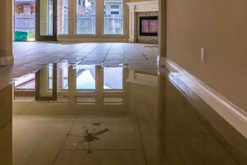
A Flood Elevation Certificate records key property details, such as it’s position, flood zone, building attributes, and crucially, the lowest floor elevation.  This certificate, issued by the NFIP, aids insurance agents in calculating your flood insurance rates.

If you’ve been advised by FEMA, your insurance provider, or mortgage company to secure flood insurance, having an Elevation Certificate or a Letter of Map Amendment can potentially lower your premiums.

Property Line Stake-Out

Before embarking on construction projects, such as fence installation, it’s essential to have your property lines clearly defined.  Island-Wide Land Surveying offers professional property line marking services across Long Island.  We handle properties of all sizes, big or small!

Aerial view of a large green field with a white outline of a house, meticulously crafted by a land surveyor. Surrounding the field are rows of suburban houses with red roofs. Mountains and blue sky provide a stunning backdrop.
Testimonials

Real Experiences from Real Clients

See Why Our Clients Trust Islandwide Land Surveyors for Their Land Surveying Needs.

Free Quote

Get Started with Your Project Today

Request Your No-Obligation, Free Quote from Islandwide Land Surveyors Now