Summary:
If you own a large property in Nassau County — or you’re planning a project on one — you’ve probably run into the same wall most people hit: the survey takes forever, the process feels opaque, and by the time results come back, your timeline is already slipping. That frustration is real, and it’s common. But the way land surveying works has changed significantly. Aerial methods and satellite-based positioning have made it faster and more accurate to map complex properties than it’s ever been. We’ll walk you through what aerial land surveying actually involves, how the technology works, and how to know whether it’s the right fit for your project.
What Aerial Land Surveying Actually Involves
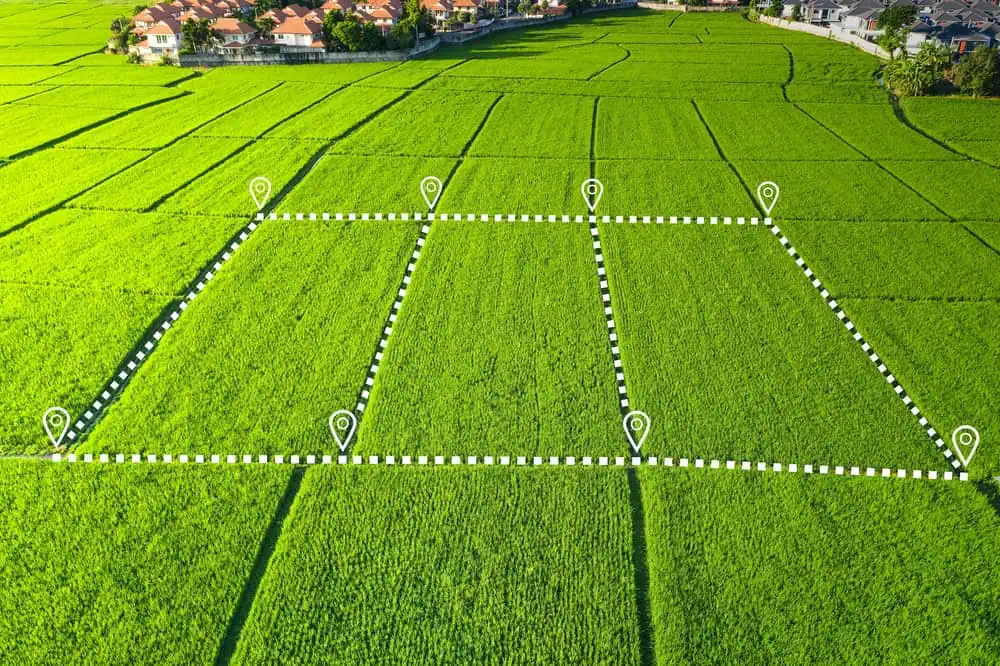
Aerial land surveying uses drones and satellite-based positioning systems to collect precise geographic data across a property — often in a fraction of the time traditional ground crews would need. A drone equipped with a high-resolution camera or LiDAR sensor flies a planned path over the site, capturing overlapping images or laser measurements that are then processed into detailed maps, elevation models, and 3D terrain data.
What makes it more than just flying a camera around is the layer of professional oversight involved. We establish ground control points before any flight, tying the aerial data to verified benchmarks on the ground. A licensed Professional Land Surveyor reviews and certifies everything. The technology speeds up the data collection — the professional judgment is still what makes the survey legally valid in New York State.
Why Large and Irregular Properties Benefit Most
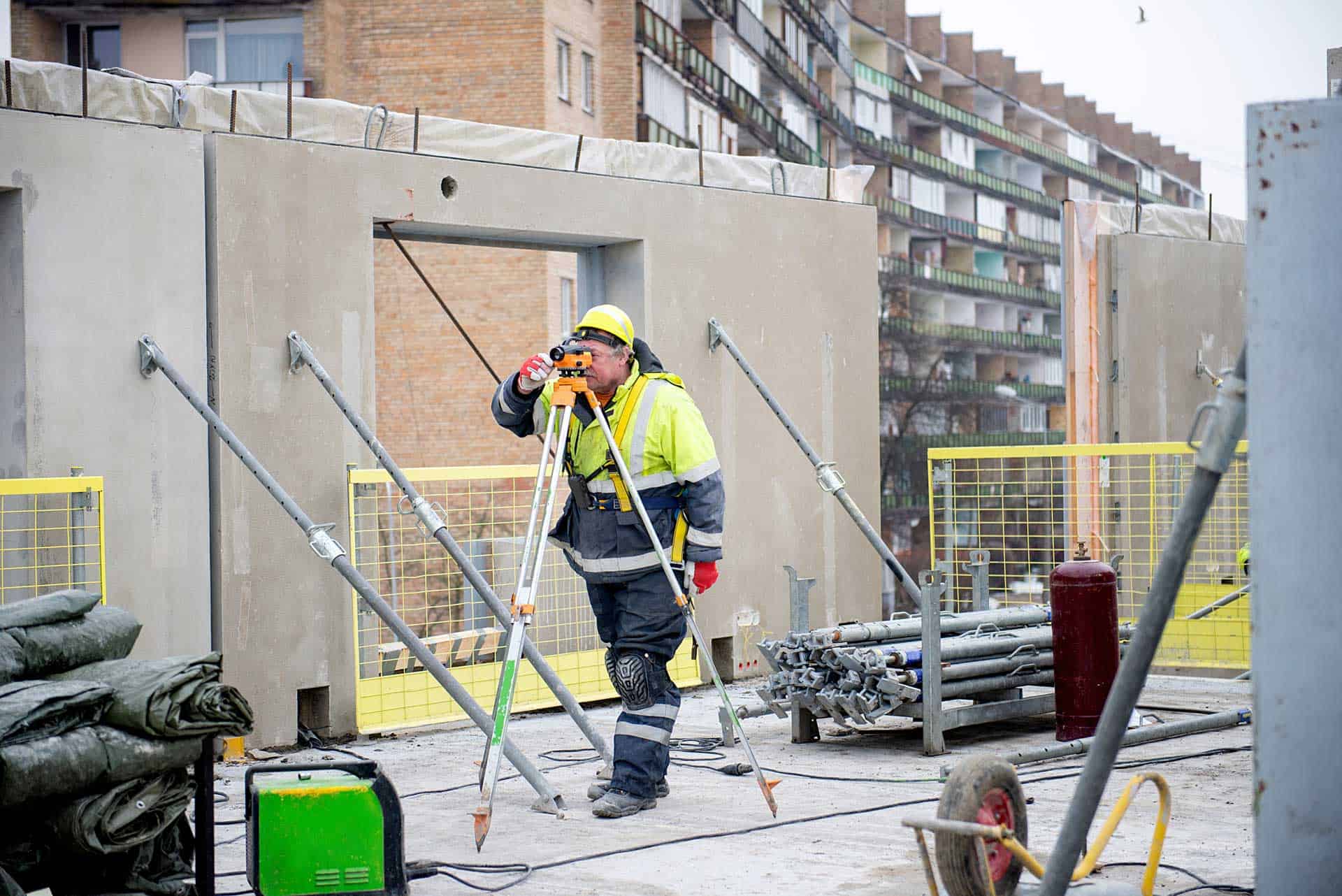
Traditional ground surveying works well on small, accessible lots. A crew walks the property, sets up instruments, takes measurements, and builds the picture point by point. For a standard suburban lot in Levittown or Hicksville, that approach is perfectly efficient. But once you start dealing with larger, more complex parcels — the kind you find across Nassau County’s North Shore in communities like Oyster Bay, Muttontown, Old Westbury, and Locust Valley — the math changes quickly.
Wooded terrain slows ground crews down. Steep or irregular topography requires more setups and more time. Properties with dense vegetation can obscure sight lines between instruments, forcing crews to take indirect measurements that compound small errors over long distances. A multi-acre estate with rolling hills, mature trees, and irregular boundaries might take a ground crew several days to map accurately. An aerial survey can capture the same area comprehensively in a matter of hours.
LiDAR technology is particularly relevant here. Unlike photographic imaging, LiDAR uses laser pulses that penetrate tree canopies and return ground-level elevation data even beneath dense vegetation. For Nassau County’s wooded North Shore parcels — where the terrain is genuinely complex and property values are high — that capability isn’t a luxury. It’s what separates a complete topographic dataset from an approximation.
Speed matters too, and not just for convenience. Aerial surveys can be up to five times faster than traditional ground methods, which means your project timeline doesn’t stall waiting for data. When you’re coordinating architects, contractors, permit applications, and lender requirements, that difference is felt in real dollars and real delays avoided.
How Aerial Surveys Handle Nassau County's South Shore Terrain
Nassau County isn’t just rolling North Shore hills and estate properties. The South Shore is a completely different landscape — flat, low-lying, and in many areas sitting squarely in FEMA-designated flood zones. Communities like Long Beach, Freeport, Oceanside, Merrick, and Wantagh have dealt with flood zone complexity for years, and the aftermath of Hurricane Sandy made accurate elevation data more important than ever.
For these properties, aerial surveying combined with precise GNSS positioning delivers something traditional methods struggle to match: highly accurate elevation data across wide, flat areas where even small differences in grade matter enormously for flood insurance determinations and FEMA elevation certificates. A few inches of elevation difference can shift a property’s flood zone classification, which directly affects insurance premiums and what a lender will require before closing.
Aerial photogrammetry and GNSS-based elevation capture can produce Digital Elevation Models — essentially a precise 3D surface map of the property — that gives engineers, architects, and homeowners a complete picture of how water moves across a site. That’s valuable for drainage planning, site design, and documenting existing conditions before construction begins. It’s also the kind of data that holds up when a municipality or insurance company asks questions later.
Nassau County’s 64 incorporated villages each have their own zoning codes, setback requirements, and building department procedures. Getting the elevation data right the first time, with a licensed surveyor certifying the results, is the difference between a smooth permit process and one that stalls because the documentation doesn’t meet the specific village’s standards.
Traditional vs. Aerial Surveying: Choosing the Right Method
Aerial surveying isn’t always the answer. For a standard residential boundary survey — someone needs to know exactly where their lot line falls before installing a fence or building an addition — traditional ground methods are often the right tool. They’re precise, well-established, and exactly what Nassau County building departments expect to see on permit applications.
The decision usually comes down to the size of the area being mapped, the complexity of the terrain, and what kind of data the project actually needs. Understanding where each method excels helps you ask better questions when you’re getting quotes — and makes it easier to evaluate what you’re being told.

GNSS Surveying: How Satellite Technology Improves Accuracy
GNSS surveying — which stands for Global Navigation Satellite Systems — is one of the most significant advances in land measurement over the past few decades. Modern GNSS receivers don’t just use the US GPS network. They simultaneously pull signals from four fully operational satellite constellations: GPS (United States), GLONASS (Russia), BeiDou (China), and Galileo (European Union). More signals from more satellites means more data points to work with, and that translates directly into better positioning accuracy.
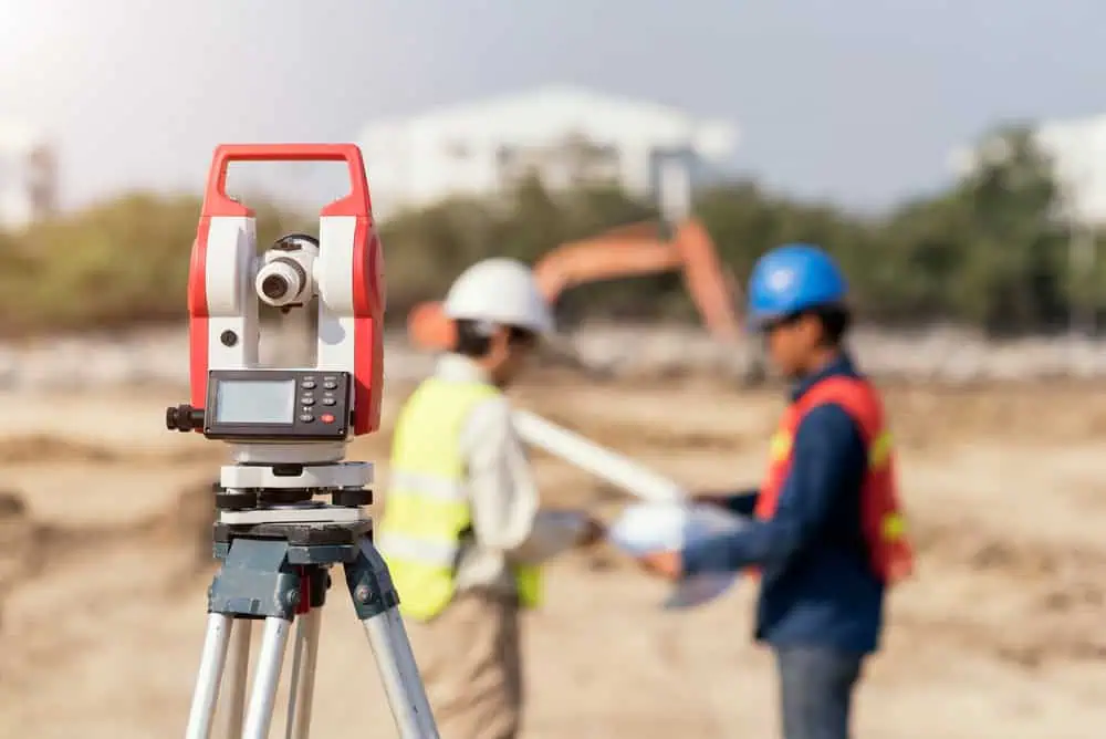
The most precise version of this is called RTK, or Real-Time Kinematic positioning. RTK uses a fixed base station with a known location to send real-time corrections to a rover unit in the field, eliminating most of the atmospheric and signal delay errors that reduce standard GPS accuracy. The result is centimeter-level positioning in real time — not after hours of post-processing, but as the measurement is being taken. NOAA’s National Geodetic Survey has confirmed that modern GNSS calibration can determine survey accuracy to the one-centimeter level, which is the same standard used for geodetic control networks across the country.
For large property surveys across Nassau County, this matters in a practical way. When you’re mapping a ten-acre parcel in Old Westbury or a waterfront estate in Centre Island, small positional errors that compound over distance can meaningfully shift where boundaries fall and how elevation data reads. RTK-enabled GNSS eliminates most of that drift. Combined with aerial data collection, it gives us a way to cover large areas quickly without sacrificing the precision that licensed survey work requires.
GNSS technology has been a part of professional land surveying since the late 1980s, so this isn’t experimental. What’s changed is the availability of multi-constellation receivers, the accuracy of real-time corrections, and the integration of GNSS positioning with drone-based data collection — all of which make modern aerial surveys significantly more capable than what was possible even ten years ago.
When Ground Surveying Is Still the Right Call in Nassau County
For all the advantages aerial methods bring to large-scale mapping, there are plenty of situations where traditional ground surveying is exactly what a project needs — and where a licensed surveyor showing up on-site with conventional instruments is the appropriate, expected approach.
Boundary surveys for residential properties are the clearest example. If you’re a homeowner in Garden City, Massapequa, or Great Neck who needs to know precisely where your property line falls before building a fence, adding a garage, or resolving a dispute with a neighbor, a ground-based boundary survey is the standard. It’s what your village building department is used to seeing, and it’s what the title company and your attorney will reference. Aerial data collection isn’t what drives that kind of survey — precise measurement of corners and lines, tied to deed descriptions and county records, is.
Property line stakeouts follow the same logic. When a contractor needs physical stakes in the ground before breaking soil, a licensed surveyor walks the property, locates the corners, and sets markers. That’s hands-on, ground-level work that no drone replaces.
The more useful way to think about it isn’t aerial versus traditional — it’s about what the project actually requires. A topographic survey for a large development site in Nassau County benefits enormously from aerial data collection and GNSS positioning. A title survey for a home purchase in Syosset or Hempstead follows a well-established ground-based process. Many complex projects use both: aerial methods to capture the broad terrain picture efficiently, and ground crews to verify specific boundary points and gather data that aerial sensors can’t reach.
That’s why working with a firm that offers multiple surveyor types matters. Not every project fits a single methodology, and a surveyor who only has one tool will use it whether it’s the right fit or not. We have the full range of capabilities, which means the approach is matched to what the project actually needs — not the other way around.
Finding the Right Aerial Land Surveying Approach for Your Nassau County Property
Modern aerial land surveying has genuinely changed what’s possible for large and complex properties — faster data collection, better accuracy across difficult terrain, and richer deliverables that support everything from permit applications to construction planning. But the technology only matters when it’s applied correctly, by licensed professionals who understand the local landscape and the specific requirements of Nassau County’s municipalities.
If you’re dealing with a large parcel, a complicated site, or a project where accuracy and turnaround time both matter, it’s worth understanding your options before you commit to a method or a firm. The right surveyor will ask about your project before recommending an approach — not the other way around.
We’ve been working across Nassau and Suffolk County for over 50 years, with the full range of surveying capabilities to match the right method to your specific situation. Reach out to get a free, no-obligation quote and talk through what your project actually needs.