Summary:
If you’ve ever needed a land survey — for a closing, a permit, a fence, a pool — you’ve probably noticed that surveyors don’t all work the same way. Some show up with GPS equipment. Others use optical instruments and a two-person crew. The price quotes vary. The turnaround times vary wildly. And unless you work in the industry, it’s hard to know what any of it actually means for your property.
This page is here to clear that up. We’ll walk through how survey technology has evolved, what modern GPS and GNSS equipment actually does, and when traditional methods still hold their own — so you can make an informed decision about who you hire and why it matters for your Nassau County property.
How Survey Technology Has Changed: GPS vs. Traditional Methods
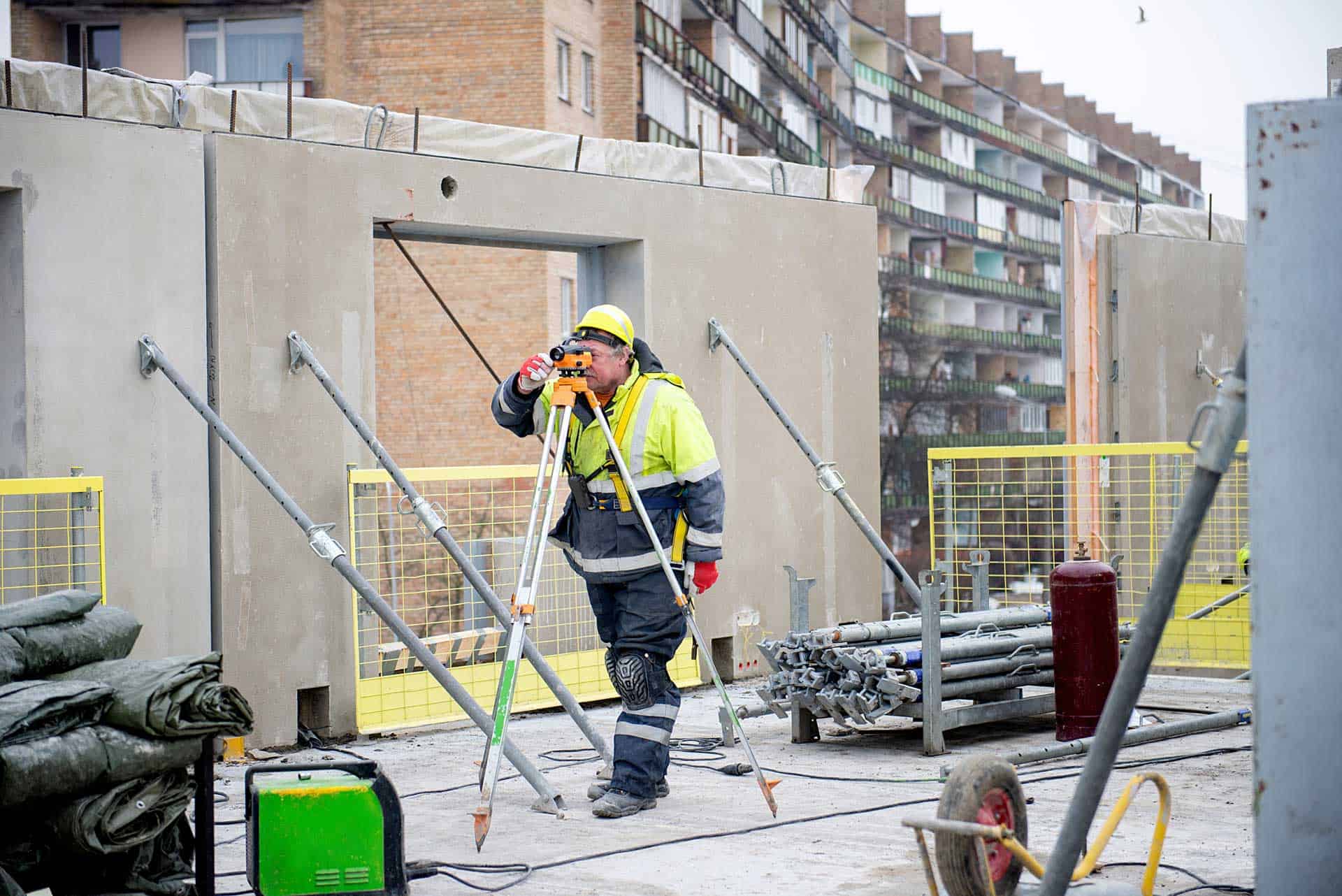
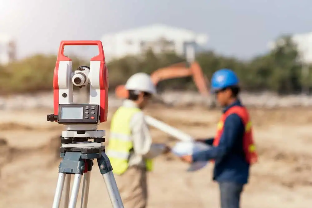
For most of surveying’s history, accuracy depended entirely on line-of-sight. Surveyors used instruments like theodolites and total stations to measure angles and distances from fixed points, moving across a property in careful, methodical steps. It worked — and it still does in the right conditions. But it required multiple crew members, clear sightlines, and significant time in the field.
Modern survey technology changed the equation. GPS and GNSS receivers can determine a precise position by communicating with satellites overhead, without needing a clear path to a neighboring point on the ground. What used to take a crew of three most of a day can now often be accomplished by a single operator in a fraction of the time — with equal or greater accuracy.
That efficiency isn’t just a convenience. It’s what allows us to deliver surveys in an average of eight days, in a market where four to seven weeks is the norm across Nassau County.
How Accurate Is GPS Surveying Compared to Traditional Methods?
This is the question most homeowners eventually ask, and the honest answer is: modern GPS surveying is extremely accurate — accurate enough for legal boundary surveys, real estate closings, and permit applications throughout Nassau County, NY.
The specific technique that makes this possible is called RTK, or Real-Time Kinematic GPS. Unlike the GPS in your phone, which might place you within 15 or 30 feet of your actual location, RTK GPS applies real-time corrections that bring accuracy down to the centimeter level. We’re talking about a technology that can locate a property corner within a few centimeters under normal conditions. For most residential surveying work, that’s more than sufficient.
Survey-grade GNSS receivers take this a step further. GNSS stands for Global Navigation Satellite System — it’s the broader network that includes not just the American GPS constellation, but also GLONASS (Russia), Galileo (the EU system), and others. A receiver that pulls from multiple constellations simultaneously has more data to work with, which means better accuracy and more reliability in challenging conditions.
Traditional optical total stations are still highly precise instruments, and in certain environments — dense tree canopy, tight urban lots with signal obstructions, or underground work — they remain the preferred tool. The difference is that GPS/GNSS doesn’t require line-of-sight between measurement points, which makes it dramatically faster across most of the open and semi-open residential properties you’ll find throughout Nassau County.
For a county where the average home sits on a modest lot with neighbors on both sides, and where property lines run close to driveways, fences, and structures, centimeter-level accuracy isn’t a luxury — it’s what prevents disputes, failed permits, and costly corrections down the road.
GNSS Surveying: Why Multi-Constellation Technology Outperforms GPS Alone
When people say “GPS survey,” they usually mean any satellite-based surveying — but the distinction between GPS and GNSS matters more than most people realize.
GPS is a single satellite constellation operated by the United States. It works well, but it has limitations. In areas with obstructions — tall trees, buildings, or complex terrain — the number of visible GPS satellites can drop, reducing accuracy or making positioning unreliable. GNSS surveying solves this by drawing from multiple constellations at once. More satellites overhead means more reference points, which translates to faster position fixes, better accuracy in difficult environments, and fewer interruptions to the survey workflow.
For Nassau County specifically, this matters in a few key ways. The North Shore communities — areas like Oyster Bay and the wooded neighborhoods around Syosset and Plainview — can have significant tree cover that would challenge a GPS-only receiver. The South Shore, where communities like Long Beach, Oceanside, and Freeport sit within FEMA flood zones, requires precise elevation measurements for Flood Elevation Certificates. GNSS technology delivers the kind of vertical accuracy those applications demand.
The surveying industry recognized the value of GNSS early — professionals were among the first commercial users after the GPS network reached full operational capability in the mid-1990s. Since then, the technology has only improved. The RICS published updated professional standards for GNSS use in land surveying as recently as 2023, and the American Society of Photogrammetry and Remote Sensing released a new edition of its positional accuracy standards in 2024. The standards are evolving because the technology keeps improving — and firms that invest in current equipment are the ones delivering the most reliable results.
What this means practically: when you hire a surveyor who uses modern GNSS equipment, you’re not just getting a faster survey. You’re getting one that’s less likely to be affected by site conditions, more likely to hold up in a legal or regulatory context, and produced by technology that meets current professional standards.
GPS and Laser Technology in Mapping Surveys
A mapping survey is more than a boundary line on paper. It captures the full picture of a property — elevations, contours, structures, drainage patterns, and the relationship between all of them. This kind of survey is essential for construction planning, architectural design, and any project where a contractor or engineer needs to understand how a site actually sits before breaking ground.
Modern GPS and laser technology have made mapping surveys faster and more detailed than what was possible even a decade ago. Digital data collection means the results can be delivered as CAD files or GIS-compatible records, not just a paper plat. For Nassau County homeowners and developers, that’s a meaningful difference — the data integrates directly with the tools architects, engineers, and building departments use.

When Should You Use Traditional Surveying Methods Instead of GPS?
Modern GPS and GNSS are the right choice for the vast majority of surveying work — but the honest answer is that the best surveyors don’t use one method exclusively. We use the right tool for the site.
GPS signals can be obstructed. In a densely wooded lot, a tight urban space with tall buildings on multiple sides, or any situation where satellite visibility is limited, traditional optical instruments often perform more reliably. A robotic total station doesn’t need a clear view of the sky — it measures angles and distances directly, from point to point on the ground. In those specific conditions, it’s the more dependable choice.
The practical approach — and the one that produces the most accurate results — is a hybrid. GPS and GNSS establish control points quickly across a property. Traditional total station work fills in the fine detail where satellite geometry is poor. Neither method is universally superior; the site dictates the strategy.
This is worth knowing when you’re evaluating surveyors. A firm that insists GPS works everywhere, without exception, is overselling. A firm that relies entirely on traditional methods and hasn’t invested in modern equipment is leaving efficiency and accuracy on the table. The firms worth hiring are the ones that carry both and know when to use each.
In Nassau County’s residential market — where lots are small, neighbors are close, and property lines carry real legal and financial weight — that kind of judgment matters. A six-inch error on a boundary line can put a fence, a driveway, or an addition on the wrong side of a legal line. The technology is only as good as the professional applying it.
How Modern Survey Technology Affects Cost and Turnaround Time
One of the most common misconceptions about modern survey equipment is that it costs more. In practice, the opposite is usually true — or at least, the efficiency gains offset any equipment investment.
Traditional surveying requires more time in the field, more crew members, and more manual calculation after the fact. GPS and GNSS reduce all three. A single operator with a modern GNSS receiver can accomplish what previously took a two- or three-person crew, and the data is collected digitally, which shortens the processing and drafting phase significantly.
That efficiency is exactly why we average an eight-day turnaround on surveys — in a market where most firms quote four to seven weeks. If you’ve ever called around for quotes in Nassau County, you’ve probably run into that timeline yourself. It’s the industry norm. Surveyors get busy, backlogs build, and buyers waiting on a closing or a contractor start date end up stuck.
The speed advantage isn’t just about convenience. In a county where the median home sells for over $800,000 and closings have hard deadlines, a delayed survey can hold up a transaction, push back a permit, or cost a homeowner their contractor slot for the season. Modern survey technology removes that bottleneck — not completely, but significantly.
There’s also a longer-term value to consider. Modern GPS-based surveys produce digital records — CAD files, georeferenced data, GIS-compatible outputs — that don’t fade, tear, or become illegible over time. Nassau County’s average home is 73 years old, which means a lot of existing surveys on file were produced with chain-and-compass equipment in the 1950s and 1960s. Those documents may not reflect current structures, may not meet today’s accuracy standards, and in many cases won’t be accepted by Nassau County’s building departments or title companies. A survey done with current technology is a durable asset, not just a one-time deliverable.
Choosing the Right Survey Technology for Your Property
The gap between traditional and modern surveying methods is real — in speed, accuracy, and the quality of the final product. But the technology itself is only part of the picture. What actually determines the quality of a survey is the combination of current equipment and genuine local knowledge. Nassau County has its own deed history, its own flood zone complexities, its own town-level permit requirements across Hempstead, North Hempstead, and Oyster Bay. A surveyor who knows this market — and uses the right tools to work in it — is going to deliver a better result than one who doesn’t.
If you’re trying to figure out whether your existing survey is still usable, or you need a new one for a closing, a permit, or a boundary question, the clearest next step is a conversation. We’ve been working across Nassau County for over five decades — reach out for a free, no-obligation quote and get a straight answer about what your property actually needs.