Skip to content
  • 516-496-7822
  • 199 Lafayette Dr Syosset, NY 11791
  • [email protected]
Logo for Island-Wide Land Surveyors featuring a silhouetted island and surveying instrument, with blue gradient text in Long Island, NY
  • Home
  • Our Services
  • Why Islandwide?
  • Contact
  • Home
  • Our Services
  • Why Islandwide?
  • Contact
Get A Free Quote

Category: Guides

Common Boundary Disputes on Long Island & How a Professional Surveyor Resolves Them

A hand holds a magnifying glass over a blueprint-style map with a miniature model house placed on it, symbolizing property search, real estate, or land planning.

Commercial Survey Requirements in Nassau & Suffolk Counties: A Land Surveyor’s Checklist

A theodolite is set up at a construction site in the foreground. In the background, two construction workers wearing helmets and safety vests examine blueprints, with blurred buildings and machinery visible.

How Easements & Restrictions Affect Your Property on Long Island — and How a Surveyor Can Help

A yellow and black surveyor's level tripod stands on a wooden surface outdoors. Several architectural blueprints are laid out nearby. The background features wooden buildings with large windows.

What Are the Ethical Responsibilities of Land Surveyors in Ensuring the Accuracy and Integrity of Survey Data?

A bright orange total station surveying instrument is set up on a tripod, positioned in a lush green field with a sunny sky and distant palm trees in the background.

What Are the Critical Steps Homeowners Should Take When Dealing with Boundary Disputes, and How Can a Surveyor Help?

Aerial view of a lush green agricultural landscape with modern technology graphics highlighting specific plots, reminiscent of a surveyor's precision. The area is surrounded by residential buildings and mountains visible in the background under a blue sky with scattered clouds.

When buying or selling property, why is a professional boundary survey essential, and what information does it provide?

Aerial view of a large green field with a white outline of a house, meticulously crafted by a land surveyor. Surrounding the field are rows of suburban houses with red roofs. Mountains and blue sky provide a stunning backdrop.

How Does Land Surveying Play a Crucial Role in the Planning and Execution of Construction Projects?

Aerial view of a green rice paddy field, meticulously divided into three rectangular plots outlined in white, reminiscent of a skilled land surveyor's precision. Each plot boasts location marker icons, with houses dotting the background beneath a clear blue sky.

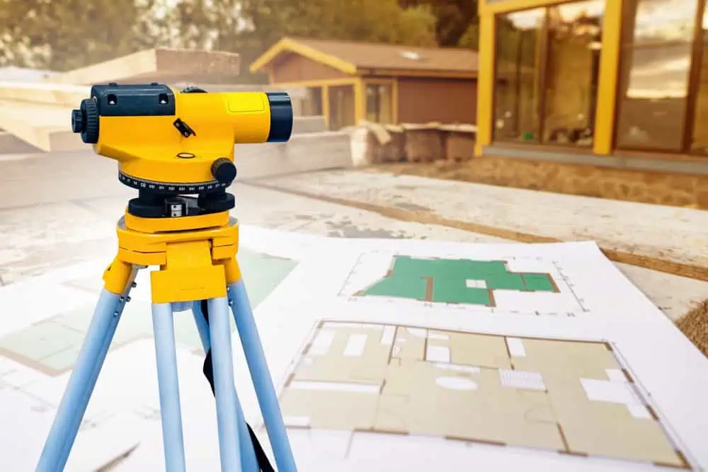
What is the Process for Conducting a Land Survey?

Two construction workers wearing yellow hard hats and blue jackets stand on a dirt field. One holds a blueprint, while the other points at something in the distance, indicating possible plans or directions for construction.

Summary:Table of contents

What Kind of Technology Do You Use for Land Surveys?

A construction worker in a blue hard hat and reflective vest uses a theodolite on a tripod, showcasing precision as a land surveyor. In the background, two other workers in hard hats and vests study construction plans at the building site.

Summary:Table of contents

What Kind of Documentation Will I Receive After the Survey is Completed?

A yellow and gray total station is set up on a tripod, expertly positioned by a land surveyor on a construction site, with a blurred background of a dirt road and trees.

Summary:Table of contents

Next →

Quick Links

  • Home
  • About
  • Areas Served
  • Services
  • Contact
  • Blog

Contact Info

  • 199 Lafayette Dr Syosset, NY 11791
  • 516-496-7822
  • [email protected]

Start a Consultation

Call Us Today

516-496-7822

Instagram
Logo for Island-Wide Land Surveyors featuring a silhouetted island and surveying instrument, with blue gradient text in Long Island, NY
@2026 All Rights Reserved | Powered by Hozio