Summary:
GPS: Guiding Precision in Land Surveying
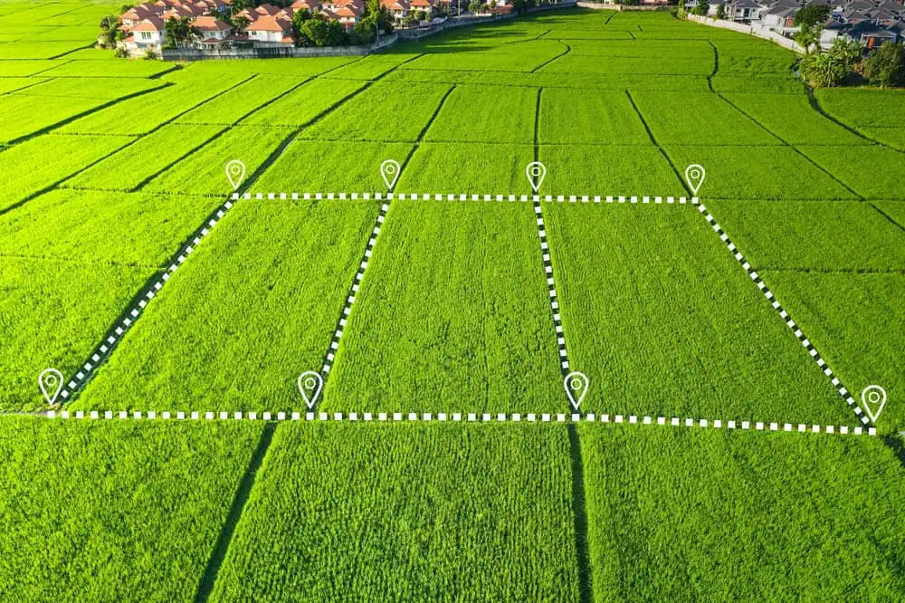
Global Positioning Systems (GPS) have revolutionized land surveying. We use high-precision GPS receivers to pinpoint locations with incredible accuracy. This technology allows us to quickly and efficiently gather data, even in challenging terrain. Suffolk and Nassau Counties present diverse landscapes, from the coast to rolling hills. GPS allows us to navigate these varied environments and gather precise data for your project.
GPS technology isn’t just about speed; it’s also about accuracy. Our GPS receivers can pinpoint locations within millimeters. This level of precision is essential for boundary surveys, construction staking, and other surveying needs. With GPS, we can confidently mark property lines, guide construction, and make sure your project meets the highest standards.
3D Scanning: Capturing Every Detail
3D scanning technology creates detailed models of your property. We use scanners to capture data points, which are then used to generate a 3D representation of your land. This technology is particularly useful for topographic surveys, where understanding the contours and elevations of your land is crucial. 3D scanning allows us to capture every nuance of your property, from the smallest slope to the largest tree.
This detailed information is invaluable for planning construction, landscaping, and drainage systems. With a 3D model, you can visualize your project and make informed decisions. 3D scanning is also useful for monitoring changes in your land over time, such as erosion or settling.
Drones Take Flight for Aerial Surveys
Drones have become a valuable tool for land surveyors. At Islandwide Land Surveyors, we use drones equipped with high-resolution cameras to capture aerial images of your property. This technology is particularly useful for large or difficult-to-access areas. Drones allow us to quickly survey vast tracts of land, saving time and resources. They also provide a unique perspective, allowing us to see your property from angles that would be impossible to achieve with traditional ground-based methods.
Aerial imagery is useful for a variety of surveying needs, including mapping, volumetric calculations, and progress monitoring. With drones, we can provide you with complete data about your property, so you can make the most informed decisions. Drones are also a safe and efficient way to survey hazardous or difficult-to-reach areas, such as the rugged cliffs along Long Island’s North Shore.
Software Solutions for Land Surveying
When it comes to technology, software is just as important as hardware. We use advanced software to process and analyze the data we collect. This software allows us to create accurate maps, models, and reports. Our software can generate detailed topographic maps, calculate volumes, and even create 3D visualizations of your property. This information is essential for planning and executing your project.
Software also helps us manage our projects efficiently. We use software to track progress, communicate with clients, and ensure that your project stays on schedule. With our technology, you can be confident that your project is in good hands.

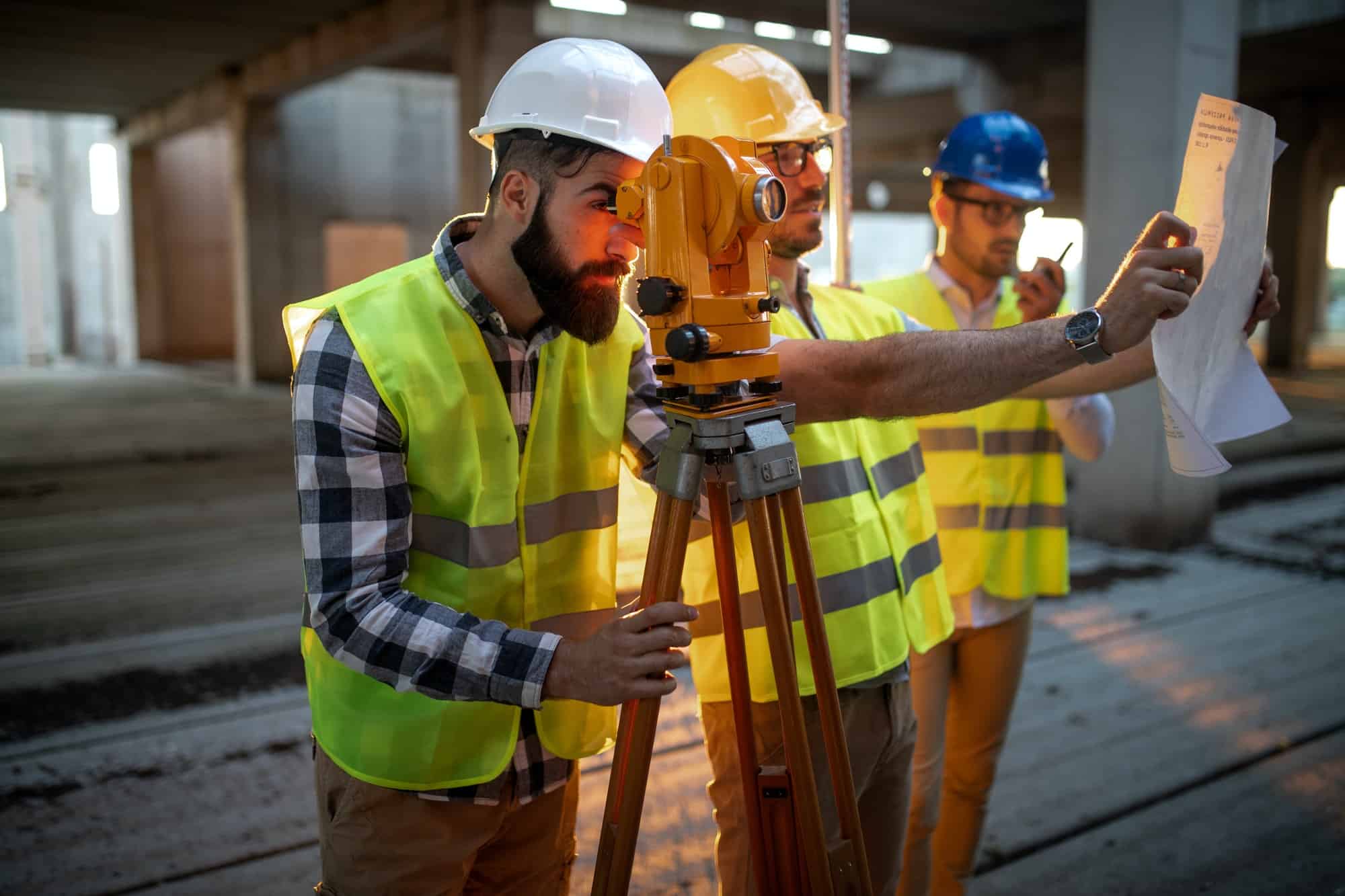
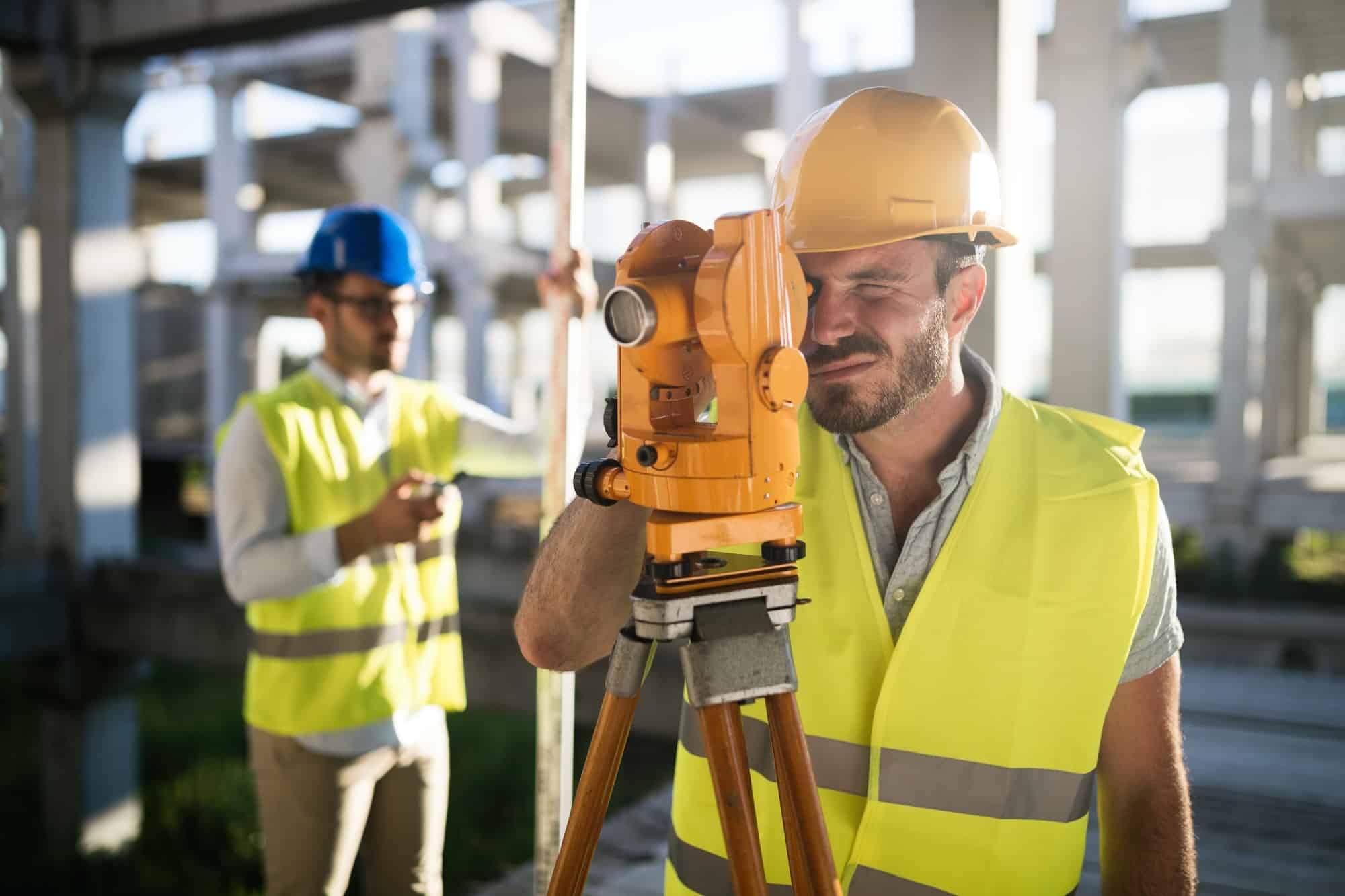
Robotics in Land Surveying
Robotics is transforming the field of land surveying. Robotic total stations automate the process of measuring angles and distances. These devices are highly accurate and efficient, reducing the time it takes to complete a survey. Robotic total stations are particularly useful for construction staking, where precise measurements are crucial. They also improve safety by reducing the need for surveyors to work in hazardous areas.
Robotics doesn’t replace human expertise; rather, it strengthens it. Our surveyors use their knowledge and experience to interpret the data collected by robots and check to confirm the accuracy of the final product.
Benefits of Technology in Land Surveying
The use of technology in land surveying provides numerous benefits. Most notably, it improves accuracy. Our tools allow us to collect precise data, minimizing errors and guaranteeing the reliability of our surveys. This is essential for avoiding disputes and securing the success of your project. Technology also increases efficiency. Our tools allow us to work faster, saving you time and money.
Finally, technology improves safety. Drones and robotics allow us to survey hazardous or difficult-to-access areas without putting our surveyors at risk. The technologies we use allow us to complete projects accurately without putting ourselves in harm’s way.
Islandwide: Your Tech-Savvy Land Surveyors
Islandwide Land Surveyors is committed to using the latest technology to provide our clients with the best possible service. Our tools allow us to work faster, more accurately, and more safely. Whether you need a boundary survey, a topographic survey, or any other land surveying service, you can trust Islandwide Land Surveyors to provide precise results. Contact us today to learn more about our technology and how it can benefit your project.